
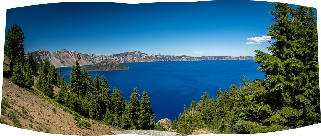
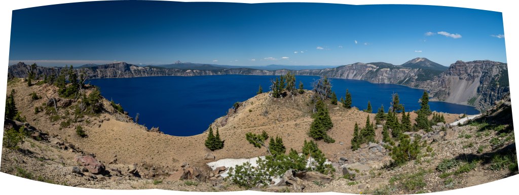
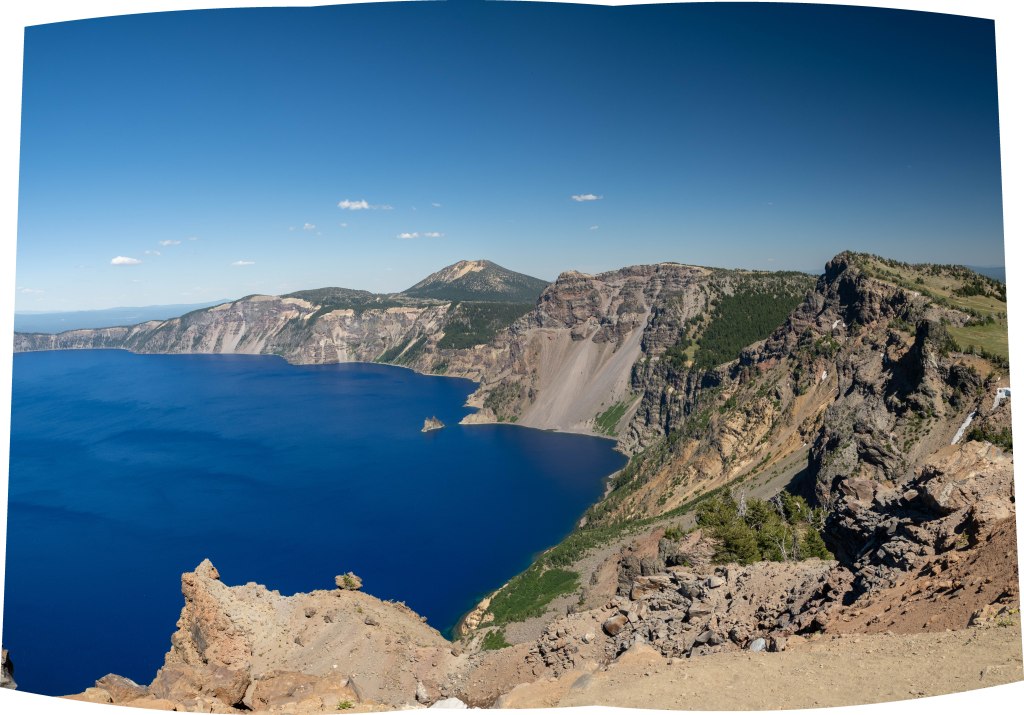
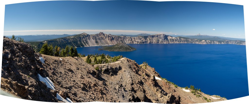
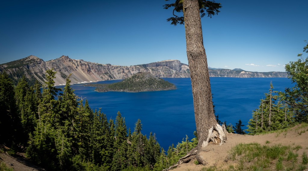
Crater Lake is just that, an enormous lake that sits inside the caldera of an ancient volcano. The water in the caldera has collected from melting snow and rainwater. It is over nine hundred feet deep and averages about 42 degrees, even in the hot summer months. The island you see is called “Wizard’s Island” and is actually an ash cone from the vent in the caldera.
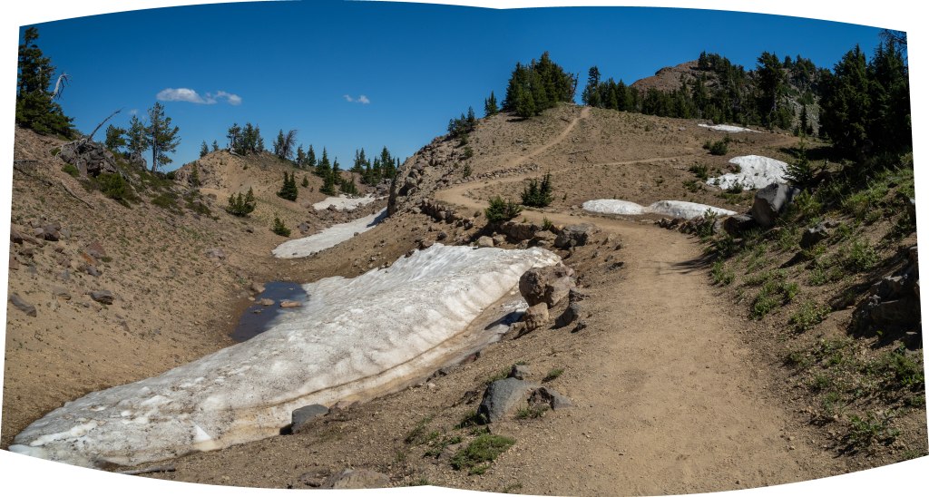
The drive alone is magnificent, climbing up through the forests of hemlock and fir. Yet, the first time you see the lake is one of those “WOW!” moments you will never forget.
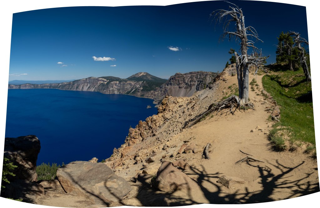
You may notice that I have not cropped all these photos so that they fit into a standard shape or size. I tried that, but the results cut off too much of the scene that I was wanting to share.
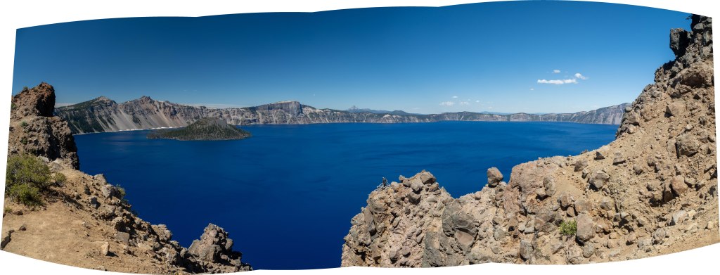
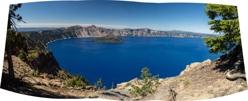
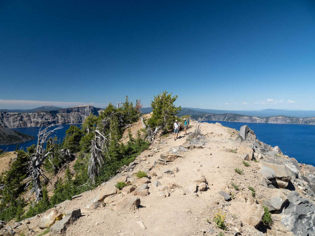
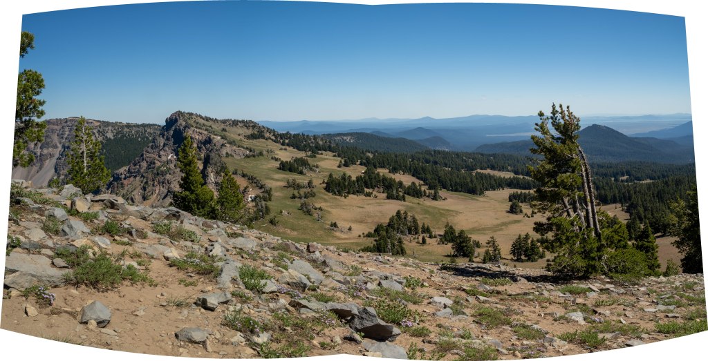
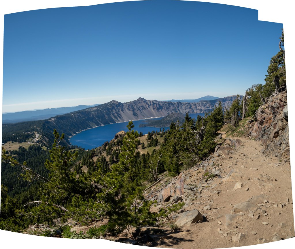
The lake is amazing, yet it really does not change much, unless you change your point of perspective . . . such as hiking up Garfield Rim. It is a 3.5 mile climb up the side of the edge of the crater, and it really gives you a view that you simply cannot get at the visitor center.
turning anytime soon.
Also, the crater and lake are not in a very populated area. It is a long drive to get to the Park and back to somewhere to stay, unless you book a place at the lodge far in advance of your visit. Also, I highly recommend that you keep your gas tank around half full at all times, because finding a gas station is about as easy as finding lodging and food!
I am going to call this quits for now and get my tent secured. There is a series of thunderstorms blowing into the Moab, Utah area tonight and I just recieved the Flash Flood warnings from the weather service. Fear Not!! The KOA camp is up high and my roof top tent is up even higher.
Be safe and have a wonderful evening!! Mine should be . . . interesting! LOL

One response to “The Garfield Peak Trail”
LT this amazing!!! Please call me asap! This is Pam Dangers 407-881-7951
Sent from Yahoo Mail
LikeLike